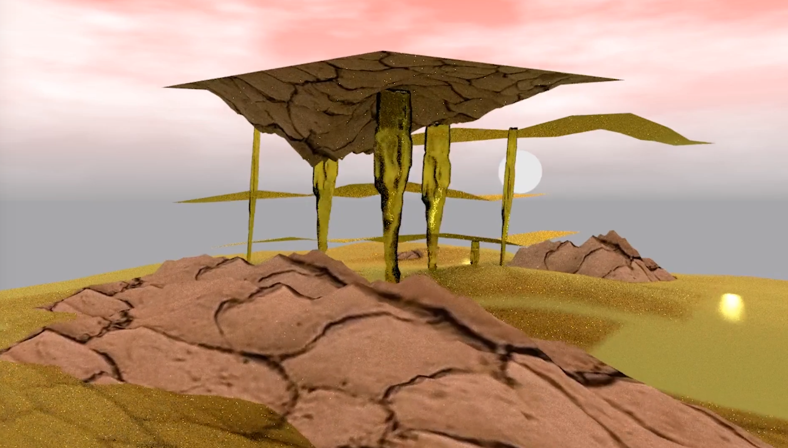
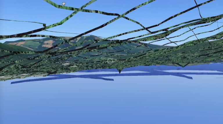
The texts that are read by actors in the films are thoughts and feelings about limited time and energy. How much can you take in? What do you prioritize when you explore, for example, a digital forest? Do you compare your human mind with the mind of a computer? Do you push your mind too far, forgetting that you cannot yet upgrade your ”hardware” to handle an increased flow of data? What happens to your sense of self and your relationships in the midst of this increased flow?
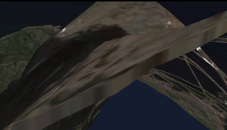
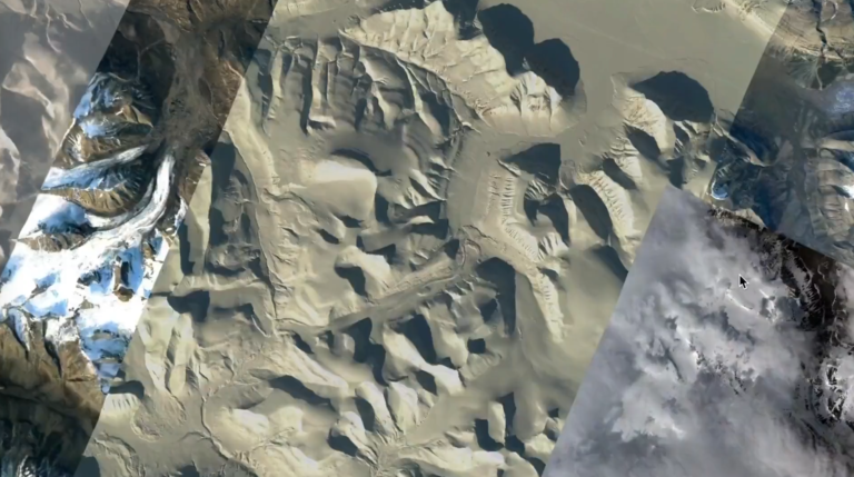
two HD videos
“film 1” 07:39 min x “film 2” 07:07 min